MAKAN TWIN
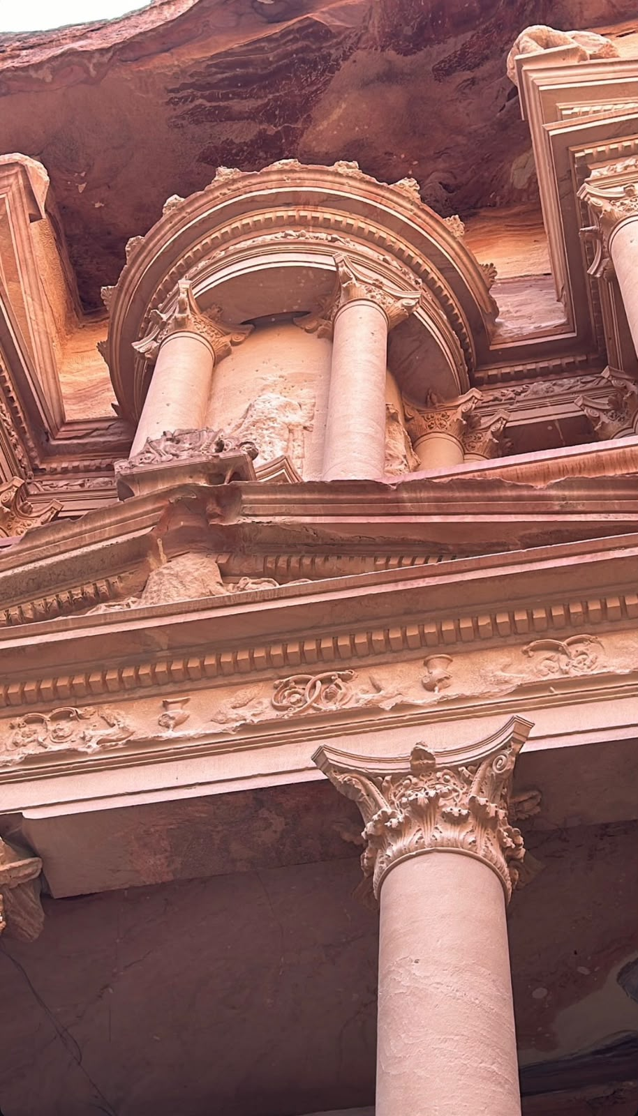
The Digital Heritage Atlas of Jordan — heritage sites brought together as living digital twins, linking 3D records, GIS layers and site knowledge in one place.
Mapping ideas, rethinking space, empowering communities, and building sustainable futures.
MAKAN is a multidisciplinary platform dedicated to understanding, shaping, and transforming places through research, innovation, and strategic thinking.
Place is more than physical space — it is a living intersection of heritage, culture, people, economy, environment, and identity. We bring together architects, planners, researchers, heritage professionals, designers, technologists, and communities to bridge theory and practice, local knowledge and global perspective.
Generate in-depth, interdisciplinary knowledge about the built environment, heritage, and cities through rigorous research and critical analysis.
Build platforms for dialogue and collaboration among researchers, institutions, and local communities to co-create shared and sustainable solutions.
Develop visions and tools for planning and design that integrate sustainability, place identity, and digital innovation.
Leverage advanced technologies such as AI, digital modeling, and digital twins to enhance understanding and management of built and heritage environments.
Translate knowledge into tangible impact by supporting policies, empowering communities, and contributing to fair, evidence-based decision-making.
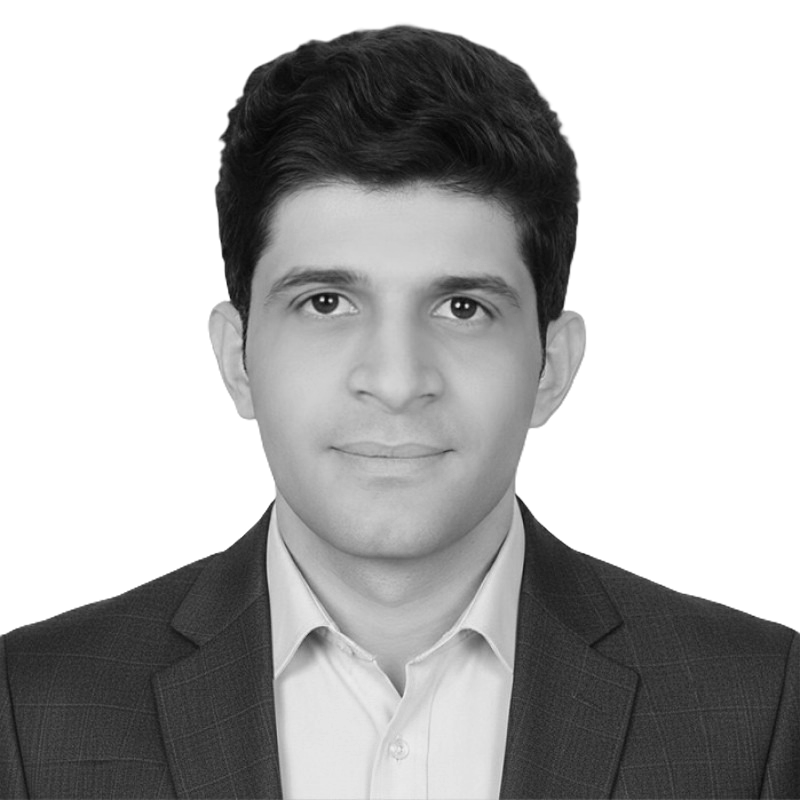
Architect, researcher and entrepreneur specialising in computational and parametric design, Digital Twins, AI, and agentic systems for the built environment. His work advances intelligent design platforms connecting BIM, GIS, simulation, real-time data and remote sensing.
LINKEDIN ↗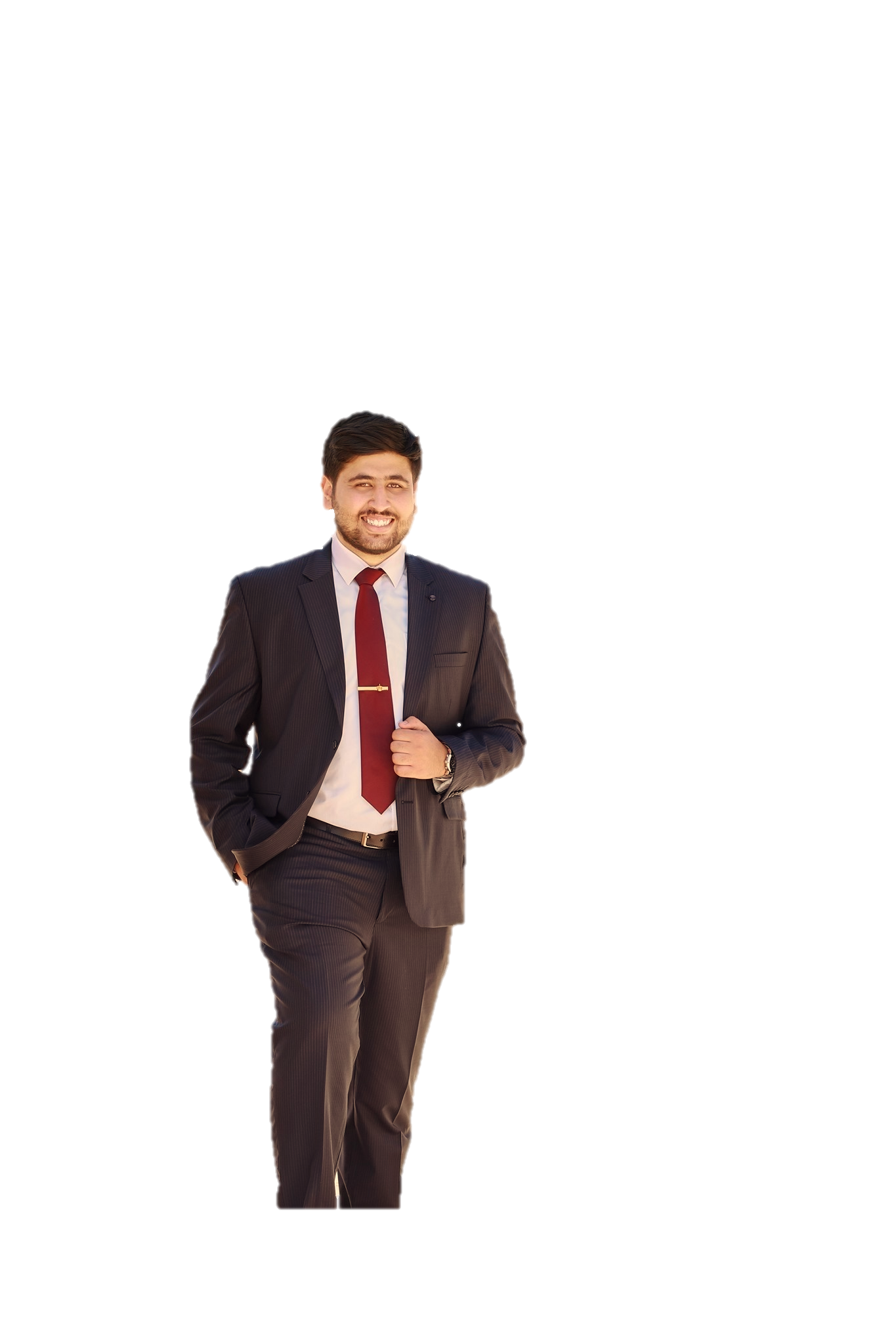
Conservation architect, urban planner and researcher specialising in cultural heritage, spatial planning and World Heritage management. Integrates GIS, BIM, photogrammetry, AI, XR and digital twin technologies for documentation and conservation.
LINKEDIN ↗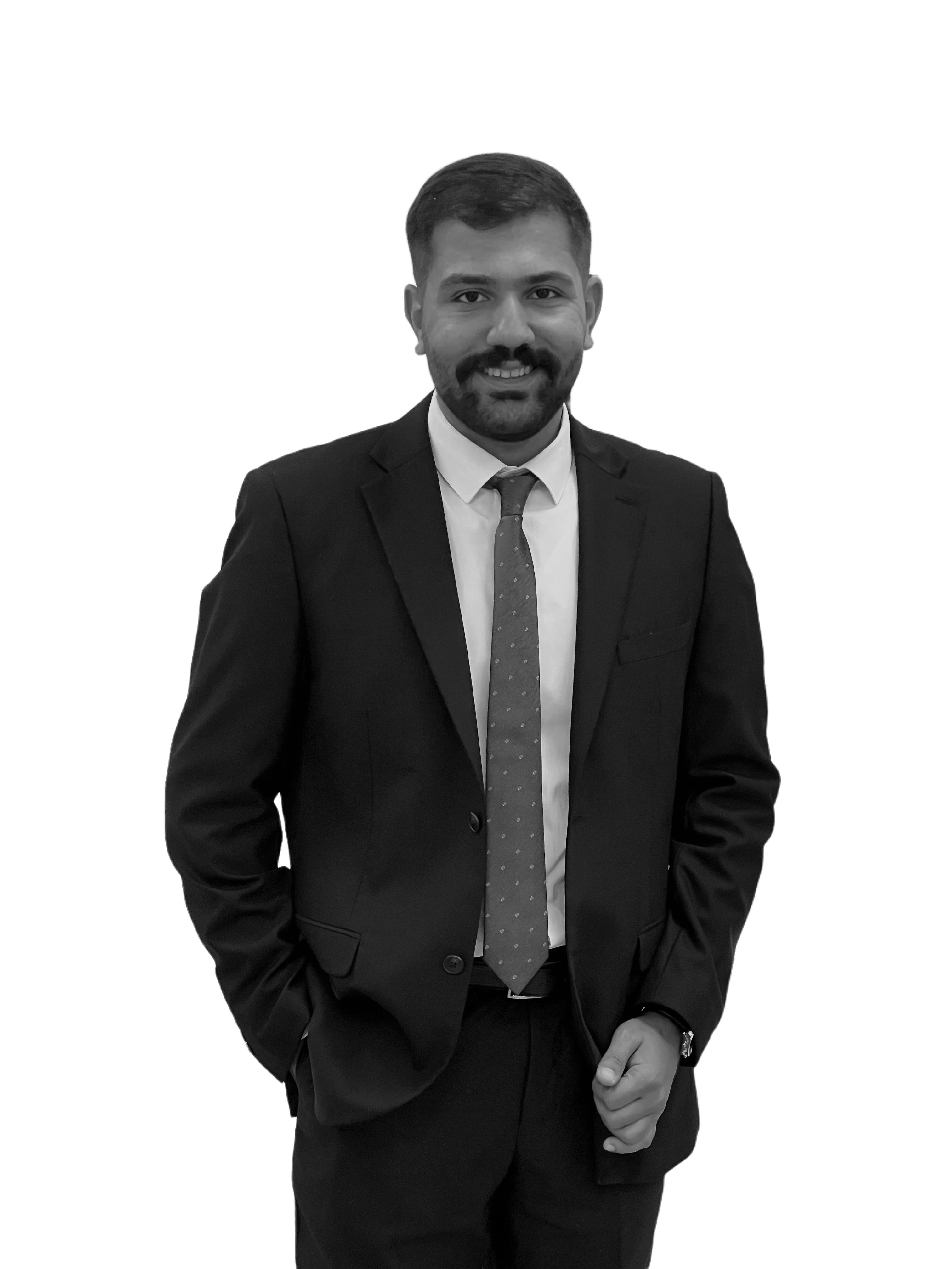
Architect, researcher and heritage conservation specialist focused on how people perceive and interact with place. He carries those insights into conservation and architectural practice across heritage projects in Jordan.
LINKEDIN ↗The Digital Heritage Atlas of Jordan — heritage sites brought together as living digital twins, linking 3D records, GIS layers and site knowledge in one place.
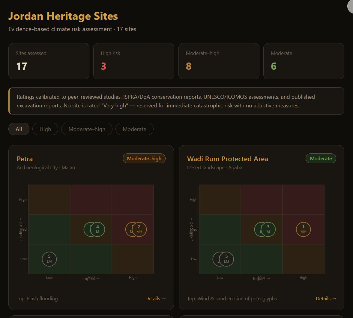
Monitoring climate change on heritage. SAHER uses AI to read scientific literature, aerial and satellite imagery and field studies — assessing risk and supporting protection and adaptation decisions.
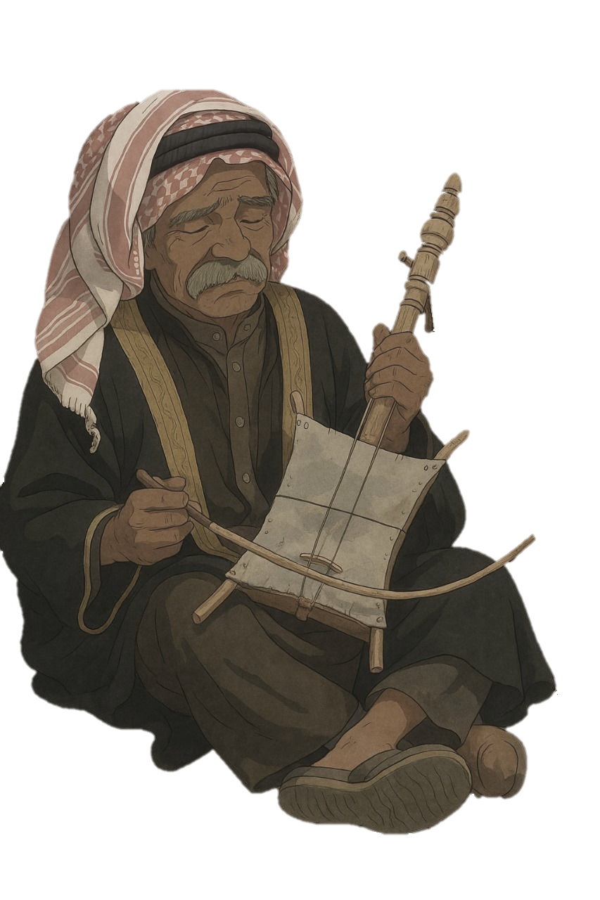
A localised storyteller — a conversational AI agent that tells the stories of each place in a local voice, guiding visitors and answering in place, grounded in the project’s research base.
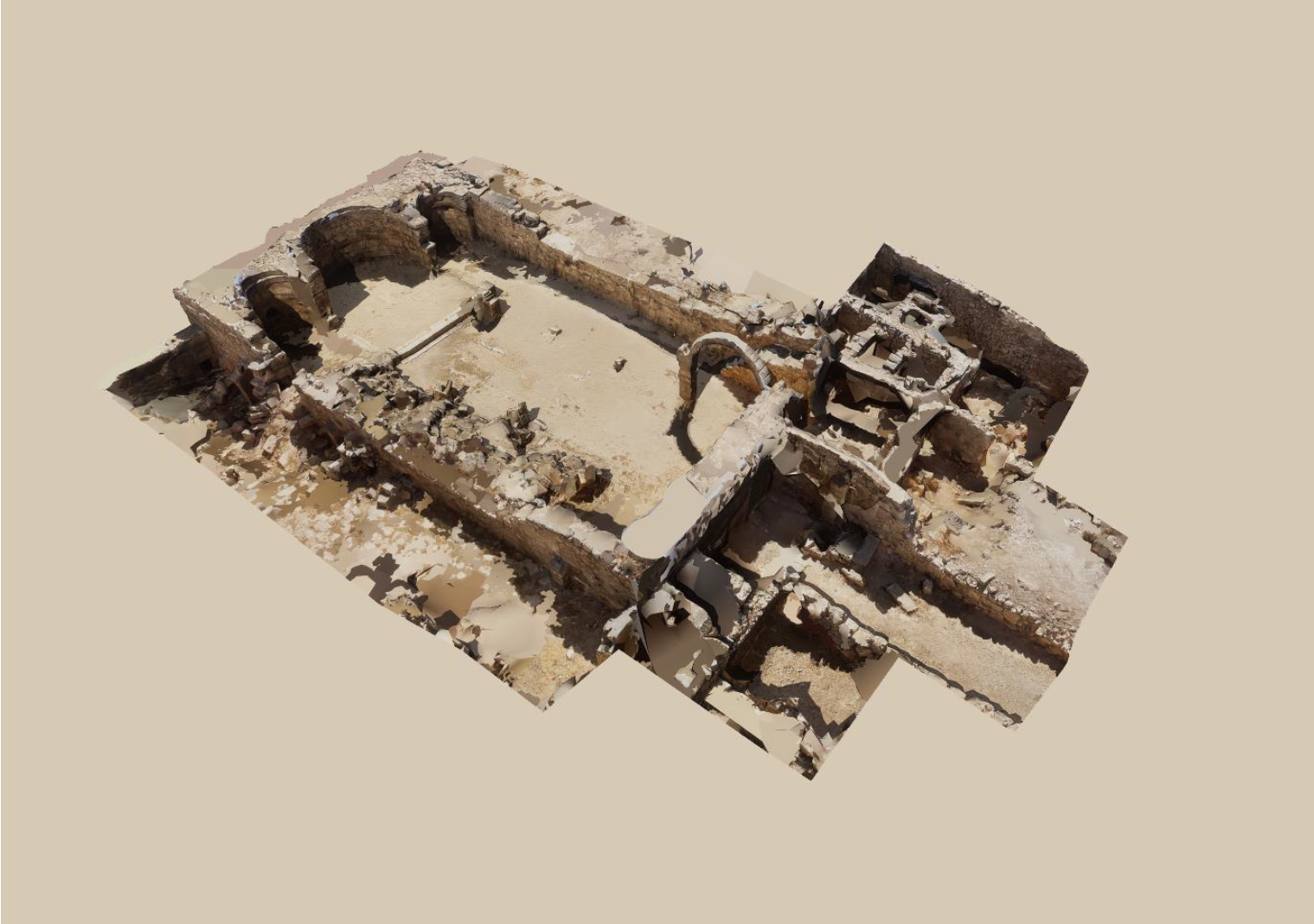
Heritage Building Information Modelling for spatial heritage — survey-grade photogrammetry and scanning resolved into structured, information-rich models of historic buildings and sites.
An integrated digital workflow: geospatial analysis, AI-driven interpretation and high-resolution 3D documentation resolved into one dynamic record of the site.
Terrain, hydrology and settlement layers registered to the site footprint.
Photogrammetry and scanning, resolved into HBIM-ready geometry.
Condition reading, change detection and narrative generation over the record.
A living twin that is re-surveyed, versioned and compared over time.
Semantic, parametric models that carry heritage knowledge, not just geometry.
Millimetre survey of surfaces, decay and change — the evidentiary base.
Territory, climate and settlement data placed against the site itself.
Interpretation and risk reading across the whole record, with autonomous agents that query, analyse and act on the twin — monitoring sites and reporting change.
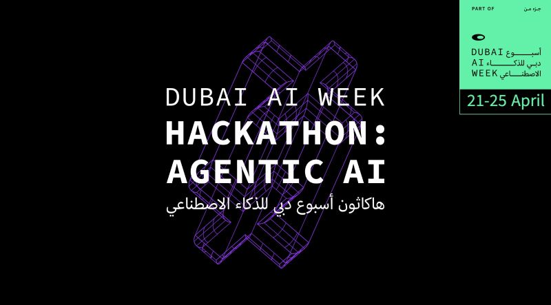
MAKAN won first place in the Travel & Mobility sector, for innovative use of AI to enhance travel experiences and the way people explore places.


MAKAN TWIN was selected as a case study at the Arab Forum for Cultural Heritage, highlighting its application of digital technologies and AI in heritage.